Home / Discover & Enjoy / Spring / Walking
Mountain hike: Spindleruv Mlyn - Kotelni jamy (a circuit)

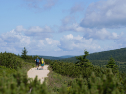
Hike from Špindlerův Mlýn past Kotelní jama. This mountain hike is not free, but you will be rewarded with breathtaking views and a touch of the pure Krkonoše nature. The 19 km route takes approximately 7 hours, making this trek an ideal choice for experienced hikers.
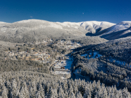
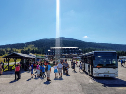
Start in Špindlerův Mlýn
The trip starts in the center of Špindlerův Mlýn near the White Bridge, from where you follow the red tourist sign past the Villa Hubertus hotel in the direction of Horní Mísečky. When you arrive at Horní Mísečky, you cross the meadow to Jilemnická Bouda.
Jilemnická Bouda to Kotelní jama
From Jilemnická Bouda, continue along Masaryková road for about 300 m, turn left onto the green tourist path (Krakonošova cesta). The forest path will take you through Kotelni jama, where you will lose your breath and feel like you are in a botanical garden. The winding ascent gradually reveals the secret and beauty of one of the most interesting geological formations in the Giant Mountains.
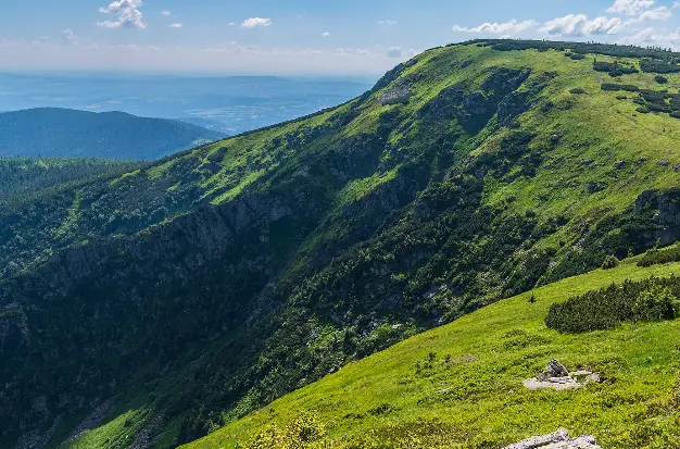
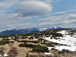
Ascent to Dvoračky (1,140 m above sea level) and via Kotelské sedlo to the top of Kotle (1,435 m above sea level)
From the bottom of Kotelní jam, you climb up to the Dvoračky mountain hut and continue following the red tourist sign to Kotelská sedlo. The ascent is nutritious, but the reward in the form of panoramic views of the region and the Kotelní pits themselves is definitely worth the effort. This part of the route is the most demanding climb within the entire circuit.
Růženča's garden and Harrach's stones
At the top of the Kotel, you will walk past a mystical place called Růženčina záhrádka up to the Harrach stones, from where you can admire the panoramic views of the surrounding ridges and the depth of the Kotelní pits.
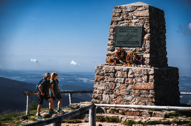
Return to the city center via the mound of Hanče and Vrbaty
From the Harrach stones, continue along the path to the mound of Hanč and Vrbata and then to Vrbata's shed. The mounds of Hanče and Vrbaty are definitely worth a stop and a view of the region, the Sněžka mountain is right in the palm of your hand.
 Walking
Route map
Download GPXSimilar activities and experiences

Route 3. The miller's hike
Municipal park in Špindlerův Mlýn

Running route | Be fit - Labský důl
White bridge

Mountain hike | Špindlerův Mlýn - Horní Mísečky - Žalý and back
Špindlerův Mlýn Tourist Information Center

Mountain hike | Špindlerův Mlýn - Vrchlabí - Žalý - Špindlerův Mlýn
Žalý lookout tower

Mountain hike | Špindlerův Mlýn - Výrovka - Stoh hillside
Tourist information center